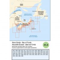
Description
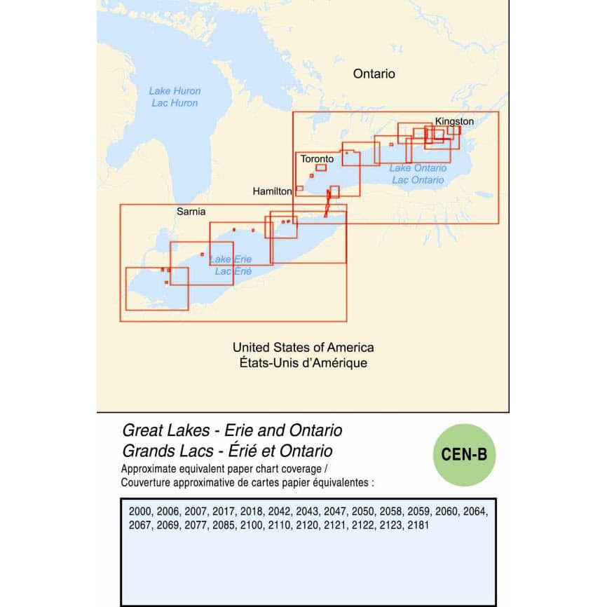
Canadian Hydrographics CEN-B Great Lakes – Erie and Ontario Download. We will send a product key code for you to download this from the Canadian Hydrographics CHS Digital Data Portal
CHS nautical charts are available in two digital formats: as Raster Navigational Charts (RNC) in the BSBv4 format or as Electronic Navigational Charts (ENC) in the S-57 vector format. They are offered separately or in collections. Used with a navigation software, the two formats contribute to navigational safety.
CEN-B Electronic Chart (ENC) is in the S-57 Vector Format

